|
Cemetery
Reading
| |||||||||||||||||||||||||||||||||||||||||||||||||||||||||||||||||||||||||||||||||||||||||||||||||||||||||||||||||||||||||||||||||||||||||||||||||||||||||||||||||||||||||||||||||
| Cemetery Name: |
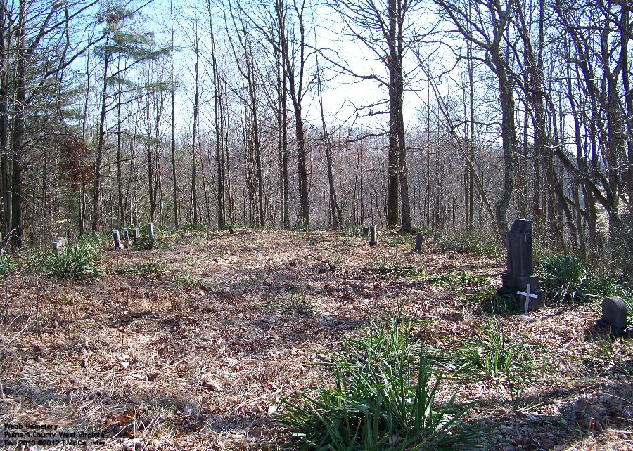
Webb |
Click image to enlarge |
| County: | Putnam | |
| USGS Quad: | Scott Depot Map | |
| Coordinates: | 38.40699ºN -81.91235ºW | |
| Maintained by: | not maintained | |
| Land owner: | Doug & Robin Wageman | |
| Date added to WVCPA register: | March 2012 | |
| Condition of cemetery**: | Poor (Fall 2010) | |
| Accessibility: | The cemetery is located on top of a hill above Snag Creek Road northwest of Saint Albans, WV. It is a fairly steep climb - not easily accessible. See the Map link above for a detailed topo map of the cemetery. On the map, there is an elevation marker 1073 along a pipeline - that is where the cemetery is, though not marked on the map. | |
|
** Condition of cemetery as
observed on the given date - |
||
| Last Name: | First Name: |
Born: |
Died: |
Inscription: |
Photo: |
Source: |
| Mary Ann | [Stone buried half-buried or possibly broken - rest of inscription illegible] |
|
||||
| Higginbotham | Robert W. | 14 September 1925 | 29 September 2015 | "T SGT US ARMY WORLD WAR
II" [In Loving Memory] |
|
|
| Ray | Thelma J. | 1906 | 26 January 1937 | [Aged 26Y 9M 10 days] |
|
|
| Spencer | Edward M. | 7 July 1908 | 23 December 1963 | [Husband and wife - shared stone] |
|
|
| Spencer | Delcie M. | 3 June 1915 | 26 November 1959 | |||
| Webb | Baby |
|
||||
| Webb | Bertha | 14 August 1916 | 19 September 1916 | "Dau. of L.J. & M.D. Webb" [Rest of inscription illegible] |
|
|
| Webb | Blanche | 1904 | 1928 | "Mother" |
|
|
| Webb | Ervin Mervin | 26 March 1904 | 27 March 1956 |
|
||
| Webb | James A. | 3 January 1863 | 12 March 1943 | [Husband and
wife - shared stone] "His Wife" "Their children Walter, Minnie, Annie, Lemmie, Lura, Daisy, Alfred, Ervil, Lilly, Thelma" |
|
|
| Webb | Elizabeth | 1873 | ||||
| Webb | Lemmie Jack | 10 April 1890 | 25 November 1946 |
|
||
| Webb | Michael Lee | 28 June 1947 |
|
|||
| Webb | Walter | 1886 | 1936 |
|
||
| Wheeler | ___ | __ April __ | ___ | "Son of ____
Wheeler" [Rest of inscription illegible] |
|
|
| Wheeler | Cleveland E. | 1889 | 1968 | "Father" |
|
|
| Wheeler | Hattie S. | 10 August 1913 | 2 April 1932 | [Rest of inscription illegible] |
|
|
| Wheeler | Helen J. | __ September 192_ | 26 September 1925 | "Infant daughter of __ &
Carrie Wheeler" [Rest of inscription illegible] |
|
|
| Wheeler | Ronie S. | 31 March 1900 | 18 December 1922 | "Well done
thou faithful..." [rest of inscription illegible] [Husband and wife - shared plot] "His Wife" |
|
|
| Wheeler | Daisy E. | 22 March 1900 | ||||
| Unidentified Markers | ||||||
| Image 14 | Metal funeral home marker - illegible |
|
||||
| Comments: |
Dates in Red
are not inscribed on the tombstone and have either been calculated based on
death date or are as a result of research on the individual by WVCPA or by
family researchers who have contributed their findings to be posted on this
web page.
WVCPA thanks volunteer Terry McCallister for photographing and reading this cemetery for posting on this page. |


![]()
Updated: 30 October 2016