|
Cemetery
Reading
| |||||||||||||||||||||||||||||||||||||||||||||||||||||||||||||||||||||||||||||||||||||||||||||||||||||||||||||||||||||||||||||||||||||||||||||||||||||||||||||||||||||||
| Cemetery Name: |
Jarrett Hill |
|
| County: | Mason | |
| USGS Quad: | Elmwood | |
| Coordinates: | near 38.7353ºN -81.8052ºW | |
| Maintained by: | Not maintained | |
| Land owner: | Unknown | |
| Date added to WVCPA register: | April 2005 | |
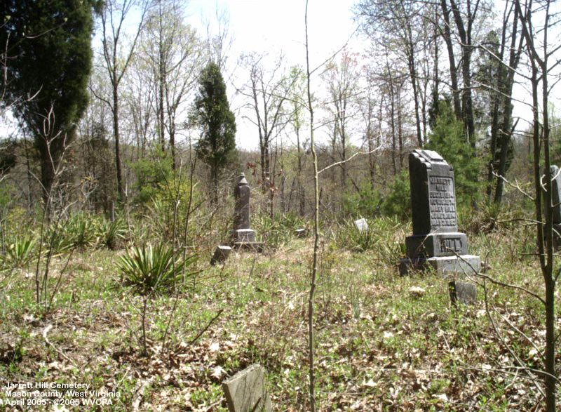
| Condition of cemetery**: | Poor (April 2005) | |
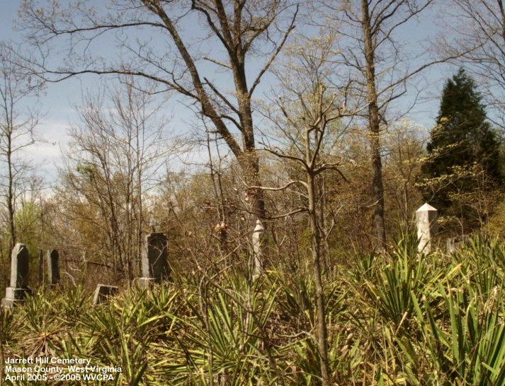
| Accessibility: | This cemetery is located east of Rockcastle Church about 1½ miles on a jeep trail/logging road midway between Long Hollow and Little Spruce. It lies just 30 feet or so off the road on the uphill side - not easily visible in its current overgrown state, but once easily visible from the road. The road is closed at Rockcastle Church on the west end, and just past a small farm on Little Spruce just into Mason County where the Jackson County line makes a sharp angle southwesterly. The hike from the east gate is somewhat easier, being less steep, but still takes a good half hour each way at a steady pace. The road from the east is passable for 4-wheelers. It is unknown how the roadbed conditions are from the west. | |
|
may not be representative of care at other times of the year Scale: Excellent - Good - Fair - Poor - Abandoned |
||
| Last Name: | First Name: | Born: | Died: | Inscription: | Photo: | Source: |
| Hill | Andrew M. | 17 September 1889 | 13 June 1890 | "Aged
8 ms 26 ds" [Brother & sister - shared stone] "Aged 3 ms 18 ds" |
|
|
| Hill | Mary O. | 25 February 1897 | 15 June 1897 |
|
||
| Hill | Anna Laura | 2 August 1860 | 22 April 1899 | "Wife
of G.W. Hill" "Aged 38 Y 8 M 20 D" "As a wife devoted, As a mother affectionate, As a friend ever kind and true" [Daughter of Andrew & Minerva Stephens] |
|
|
| Hill | Frederick E. | 8 April 1891 | 11 June 1892 | "Aged
1 y 2 ms 3 ds" [Son of George W. & A.L. Hill] |
|
|
| Hill | George William | 8 December 1847 | 16 December 1920 | "An
honest man's the noblest work of God" "PVT CO G 13TH WV INF" |
|
|
| Hill | Jarrett | 8 December 1814 | 16 November 1874 | [Husband and wife - shared stone] [Daughter of Samuel & Hannah Greenlee] |
|
|
| Hill | Mary | 9 June 1814 | 3 May 1883 | |||
| Hill | Luly B. | 2 April 1899 | 18 September 1899 |
|
|
|
| Morrison | Cynthia | 1863 | 1883 |
|
|
|
| Smith | Matthew M. | 13 October 1882 | 22 July 1883 | [Aged 9 mo 9 da - son of H.F. & Rhoda Smith] |
|
|
| Smith | Ollie J. | 15 March 1896 | 21 May 1896 | [Aged 2 mo 6 da] |
|
|
| Smith | Rhoda V. | 22 April 1853 | 23 March 1896 | "Aged
42 Ys 11 Ms 1 D" [Wife of Henry Franklin Smith - daughter of Jarrett & Mary Hill] |
|
|
| Stover | Eliza J. | February 1840 | 30 July 1891 | "Aged
51 Ys 5 Ms 24 Ds" "Wife of S.P. Stover" [daughter of Jarrett & M.G. Hill] |
|
|
| Stover | John Wm. | 2 April 1860 | 8 May 1883 | "Aged 23 ys 1 mo 6 ds" |
|
|
| Stover | Jonathan M. | 1 September 1867 | 9 May 1883 | "Aged 15 ys 8 ms 8 ds" |
|
|
| Stover | Lewis F. | 4 May 1872 | 10 April 1896 | "Aged
23 Ys 11 Ms 6 Ds" [Son of S.P. & E.J. Stover] |
|
|
| Stover | Samuel Pleasant | 1 January 1829 | 7 December 1918 | [Son of John & Catherine Stover] |
|
|
| Stover | Virginia A. | 1 January 1876 | 10 February 1882 | "Aged 6 ys 1 mo 9 ds" |
|
|
| Unidentified graves: | ||||||
| Unknown | 1 & 2 | Located in roughly the center of the cemetery |
|
|
||
| Comments:
|
Dates in Red are not inscribed on the tombstone and have either been calculated based on death date or are as a result of research on the individual. There were several unidentifiable graves, only a few remaining marked with visible fieldstones. The second photo for Lewis Stover's headstone shows how great the aluminum foil rubbing technique works for reading heavily worn inscriptions. For more information on the technique, visit our "What Can I Do?" page. |
![]()
![]()
![]()
![]()
![]()
![]()
![]()
![]()
![]()
![]()
![]()
![]()
![]()
![]()
Updated: 07 September 2012