|
Cemetery
Reading - In Progress
| |||||||||||||||||||||||||||||||||||||||
| Cemetery Name: |
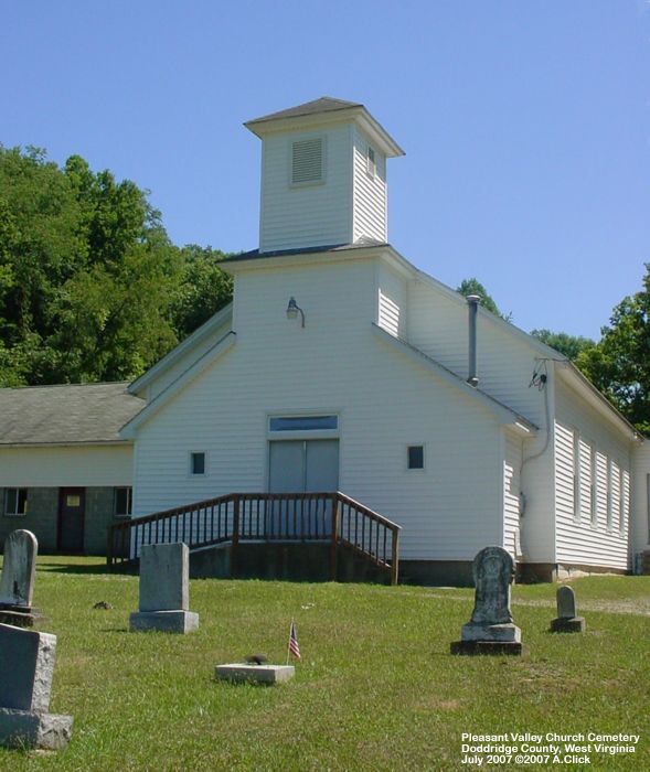
Pleasant Valley Church |
Click on photo to enlarge |
| County: | Doddridge | |
| USGS Quad: | Center Point | |
| Coordinates: | 38.3925ºN 80.6408ºW | |
| Maintained by: | unknown | |
| Land owner: | unknown | |
| Date added to WVCPA register: | September 2007 | |
| Condition of cemetery**: | Good (July 2007) | |
| Accessibility: | The cemetery is located at Center Point. Directions from WVCPA volunteer, Alice Click: "from Route 50, take the 2nd Salem exit which will also say University exit. Turn left - this is Route 23 NORTH. The road is the prettiest "Take Me Home West Virginia Country Roads" ... that you will ever find. Many curves. Nice blacktop, though. Barely a two-laner. Proceed 11.9 miles to Center Point. A cafe is on the LEFT -- go up a hill -- and make the tightest curve RIGHT up the hill to the church. Cemetery is in front, side and back -- and goes up on a hill." | |
|
** Condition of cemetery as
observed on the given date - |
||
| Last Name: | First Name: |
Born: |
Died: |
Inscription: |
Photo: |
Source: |
| [Reading yet to be acquired] |
| Comments: | Dates in Red are not inscribed on the tombstone and have either been calculated based on death date or are as a result of research on the individual. |
![]()
![]()
![]()
![]()
![]()
![]()
![]()
![]()
![]()
![]()
![]()
![]()
![]()
![]()
Updated: 07 September 2012